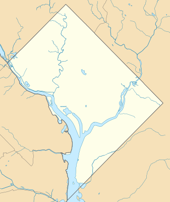
模板:Location map USA District of Columbia
外觀
| 名稱 | 華盛頓哥倫比亞特區 | |||
|---|---|---|---|---|
| 邊界坐標 | ||||
| 39.00 | ||||
| -77.13 | ←↕→ | -76.90 | ||
| 38.79 | ||||
| 地圖中心 | 38°53′42″N 77°00′54″W / 38.895°N 77.015°W | |||
| 圖像 | USA District of Columbia location map.svg | |||

| ||||
| 名稱 | 華盛頓哥倫比亞特區 | |||
|---|---|---|---|---|
| 邊界坐標 | ||||
| 39.00 | ||||
| -77.13 | ←↕→ | -76.90 | ||
| 38.79 | ||||
| 地圖中心 | 38°53′42″N 77°00′54″W / 38.895°N 77.015°W / 38.895; -77.015 | |||
| 圖像 | USA District of Columbia location map.svg | |||

| ||||