
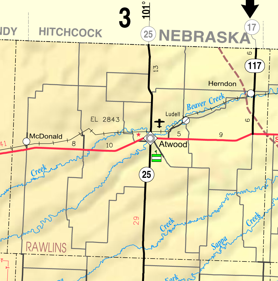
File:Map of Rawlins Co, Ks, USA.png
本预览的尺寸:592 × 599像素。 其他分辨率:237 × 240像素 | 474 × 480像素 | 952 × 964像素。
原始文件 (952 × 964像素,文件大小:265 KB,MIME类型:image/png)
文件历史
点击某个日期/时间查看对应时刻的文件。
| 日期/时间 | 缩略图 | 大小 | 用户 | 备注 | |
|---|---|---|---|---|---|
| 当前 | 2006年6月10日 (六) 15:20 | | 952 × 964(265 KB) | Moverton | Source: Kansas 2005-2006 Official Transportation Map {{PD-US}} |
文件用途
以下页面使用本文件:
全域文件用途
以下其他wiki使用此文件:
- azb.wikipedia.org上的用途
- en.wikipedia.org上的用途
- nl.wikipedia.org上的用途
- simple.wikipedia.org上的用途
- ur.wikipedia.org上的用途